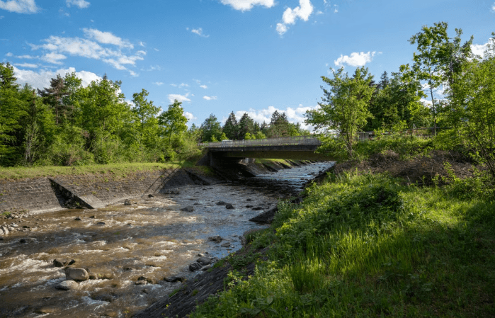
Westfield Town Council Awards Contract for Stormwater Infrastructure Mapping and Watershed Assessment
Maria Torres · Union County Life
The Westfield Town Council officially authorized an engineering contract for comprehensive stormwater infrastructure mapping and a townwide watershed assessment report. Municipal leaders designated the environmental engineering project as a foundational step toward mitigating localized flooding, improving drainage system capacity, and protecting water quality across local residential basins.
Under the approved professional services agreement, specialized environmental engineers will utilize Geographic Information System (GIS) mapping to catalog thousands of catch basins, outfalls, underground pipes, and retention structures across Westfield. Union County Life confirmed that the resulting assessment report will evaluate regional flow patterns, identify severe bottleneck zones, and establish prioritized capital improvement recommendations for future flood control projects.
Town council members emphasized that modernizing the municipality's stormwater data is critical for securing state environmental protection grants and ensuring compliance with updated New Jersey Department of Environmental Protection (NJDEP) stormwater management regulations.
The engineering team is scheduled to begin field inspections, outfall tracing, and digital mapping in the coming weeks, with a comprehensive public report delivered to the governing body upon completion.
Westfield residents seeking information on municipal drainage maintenance, flood preparation resources, or town council agendas can contact the Westfield Department of Public Works at nine zero eight seven eigh nine four zero four zero or visit westfieldnj.gov.
FAQ
Q: What is the main purpose of Westfield's new stormwater mapping project? A: The project creates a complete digital inventory of Westfield's drainage system to identify flood risk areas, improve maintenance, and guide future capital infrastructure investments.
Q: Will the watershed assessment help Westfield secure grant funding for flood control? A: Yes, having updated GIS infrastructure data and a professional watershed assessment report strengthens Westfield's eligibility for state and federal environmental grants.
Q: How can residents report local stormwater drainage or catch basin issues in Westfield? A: Residents can report clogged catch basins or localized street flooding to the Westfield Department of Public Works at 908-789-4040 or through westfieldnj.gov.
Related articles
 Government & CivicGoogle Alerts — Mountainside NJ
Mountainside Council Acts on Field, Paving, and Police
Mountainside Borough Council awards Beechwood Athletic Field contract for $797,000. Pool replacement bond and road paving contract also approved.
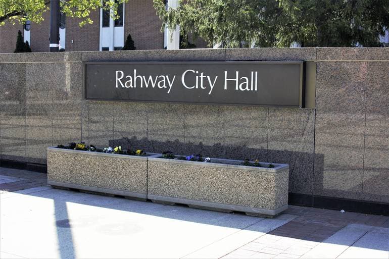 Government & CivicGoogle Alerts — Rahway NJ
Rahway Sets $79.8 Million Municipal Budget
Rahway Municipal Budget $79.8 million August 31 2026. Shared service surplus, library tax increase budget items.
 Government & CivicUC Gov
Union County to Host Free Touch-a-Truck Event on June 13
The Union County Board of County Commissioners and the Department of Parks and Recreation warmly invite residents to our spring Touch-A-Truck Event, taking place on Saturday, June 13th at Oak Ridge Park in Clark. The free event will run from 11:00 a.
Get Union County news in your inbox
Subscribe for local headlines, town updates, and community stories from across Union County.
Sign up for the newsletter